

backend.geobd.com
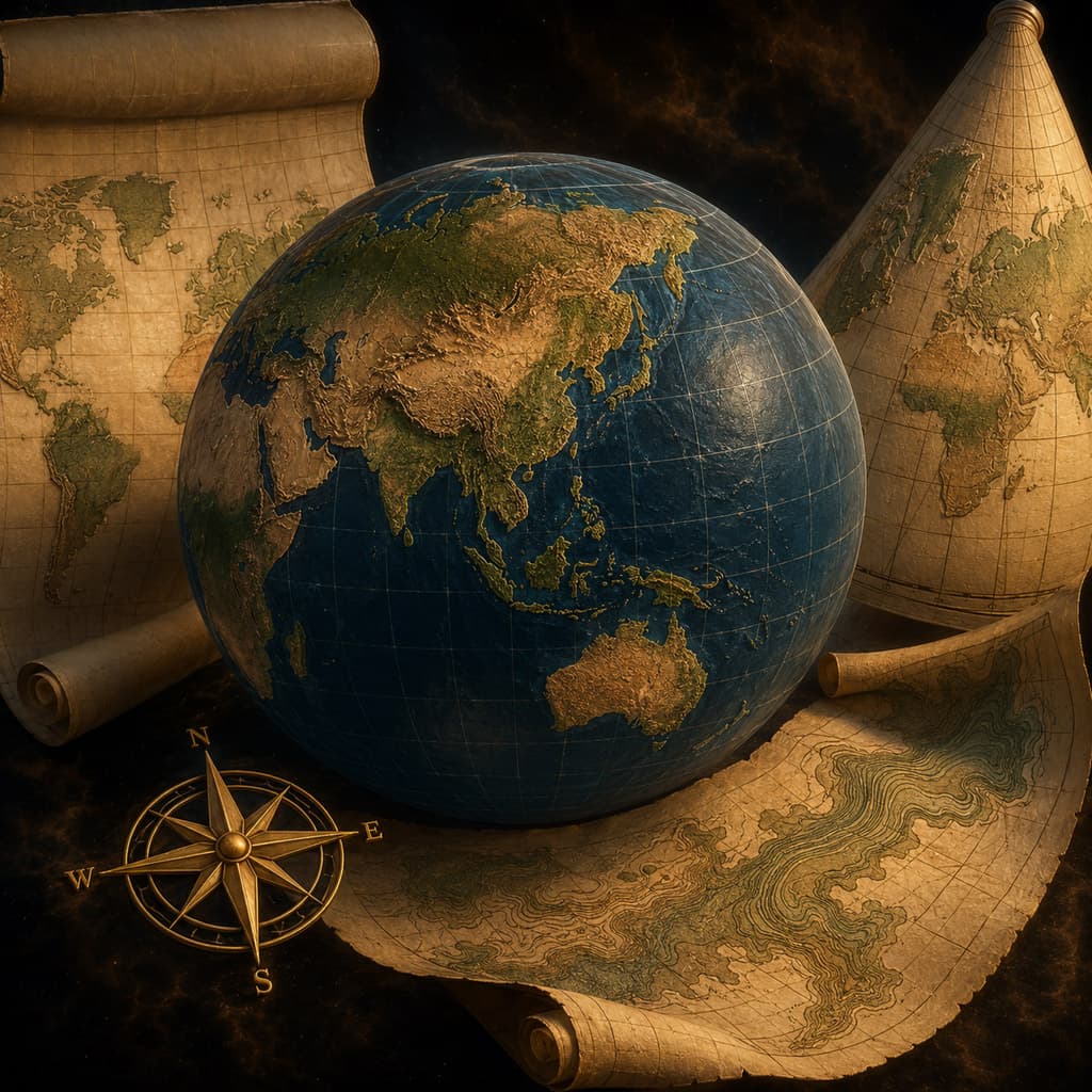
Cartography
3 Articles
The use of GIS technologies to produce maps, providing a visual representation of spatial data for analysis and communication of information.


Discover Top Topics
Explore the most active topics across Bangladesh's geo-science community


Join the GeoBD Community
Get the latest geo-science articles, fieldwork stories, GIS tutorials, and career opportunities delivered to your inbox. Join Bangladesh’s growing geoscience network.- 01Free to join — create your author account.
- 02Publish blogs, share field stories & tutorials.
- 03Connect with geo professionals across Bangladesh.
