


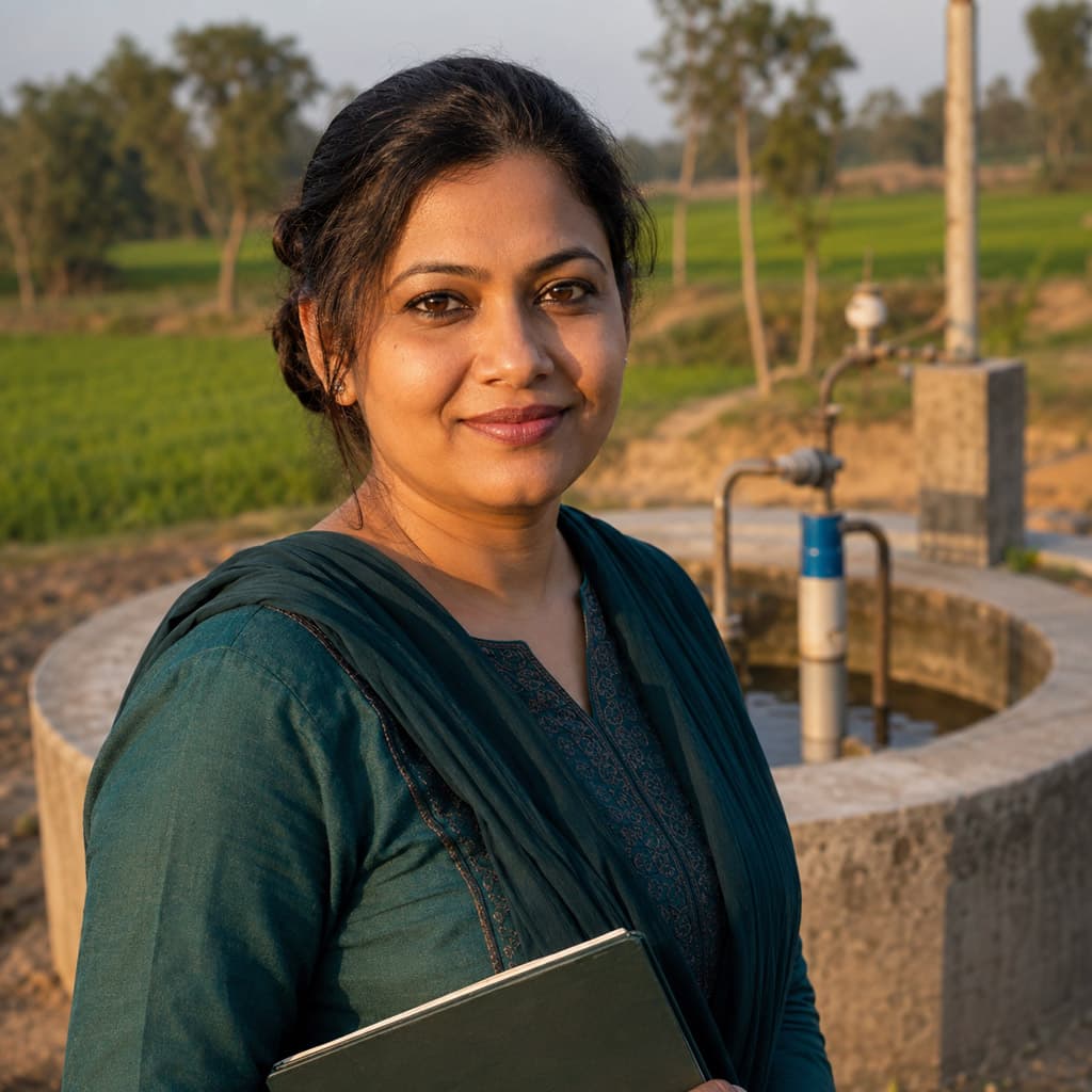
Groundwater Depletion in the Barind Tract: Hydrogeological Crisis in Northwest Bangladesh
4 min read4' read


Climate Change and Bangladesh: Shifting Monsoon Patterns, Extreme Heat and Rising Seas
4 min read4' read


Participatory Mapping in the Chittagong Hill Tracts: Territorial Maps of the Jumma Peoples
4 min read4' read


Mobile GIS for Disaster Assessment: Field Data Collection During the 2024 Sylhet Floods
4 min read4' read


Airborne LiDAR Mapping of Brahmaputra Char Lands: Elevation Data for Settlement Planning
4 min read4' read


Hyperspectral Imaging for Paddy Crop Health Monitoring in the Barind Agricultural Zone
4 min read4' read


GIS and Remote Sensing Careers in Bangladesh: From Government Agencies to Tech Startups
4 min read4' read


QGIS vs ArcGIS for Bangladesh Projects: An Honest Comparison for Local Geo Professionals
4 min read4' read


